![]() GPS Coordinates: 39.3711° N, 106.1047° W
GPS Coordinates: 39.3711° N, 106.1047° W
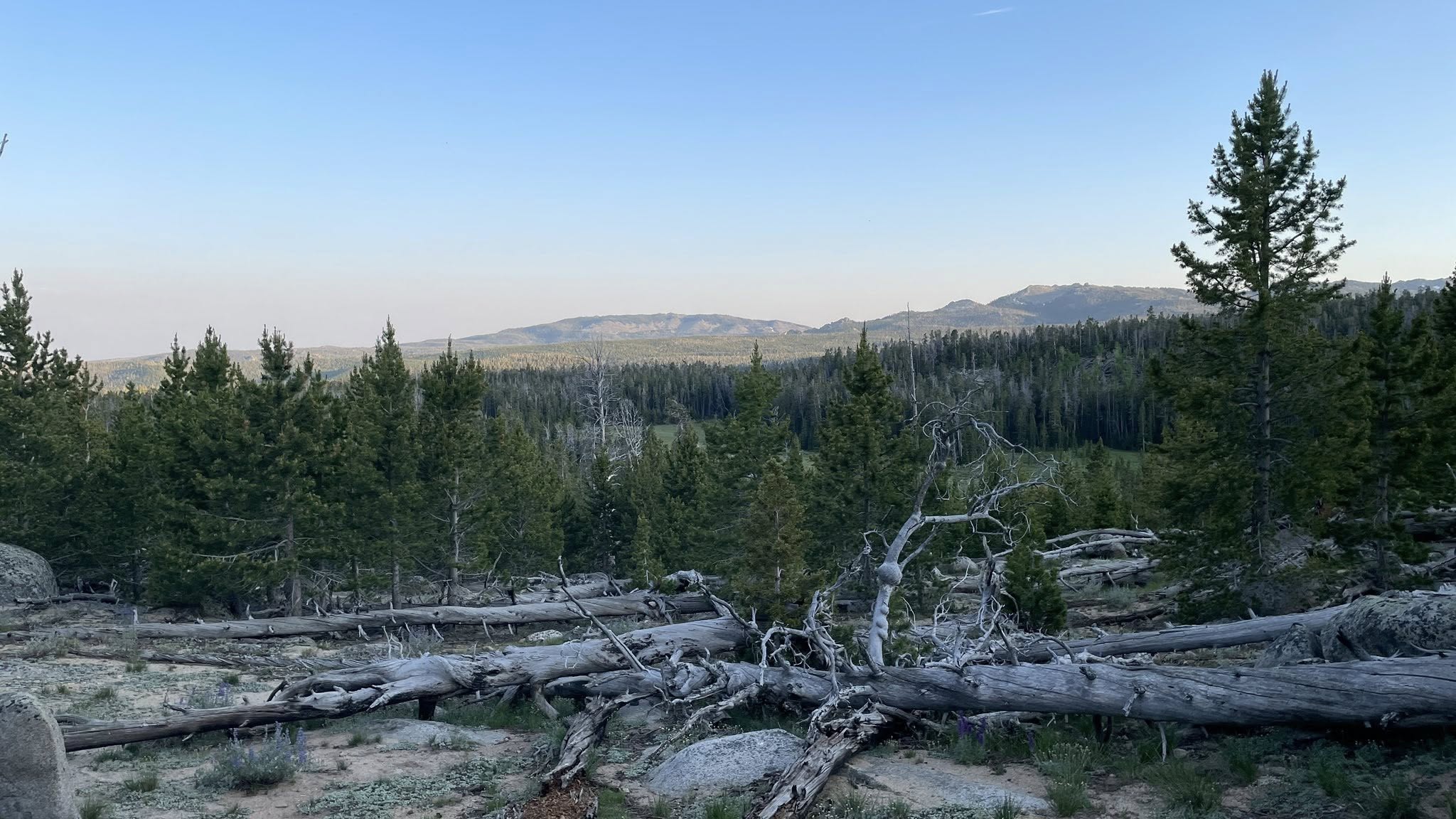
Last evening, Gayla and I decided to take Tucker out for another walk since he was a bit restless. That walk quickly turned into a spontaneous hike up a nearby little mountain—no trail, just instinct and curiosity. It was a steep climb, but once we reached the top, the payoff was incredible. We had a clear view of Atlantic Peak, rising 12,495 feet into the sky. It’s the 8th most prominent peak in Wyoming, and with the sun setting behind it, the entire scene looked like a postcard. One of those moments you want to bottle up and save forever.
We both woke around 6:30 AM this morning and started the day the way we love most—sitting quietly with coffee, enjoying each other’s company, and talking through our thoughts and plans for the upcoming week.
Later in the morning, we set up outside and made a hearty brunch: crispy hash browns, scrambled eggs, and bacon. I may have outdone myself with that meal… though now I can’t stop thinking about how good a burnt ends omelet would’ve been. Maybe tomorrow. While I was cooking, Gayla was finishing a wool hat she’s been working on lately—one stitch at a time, it’s turned into a beautiful piece.
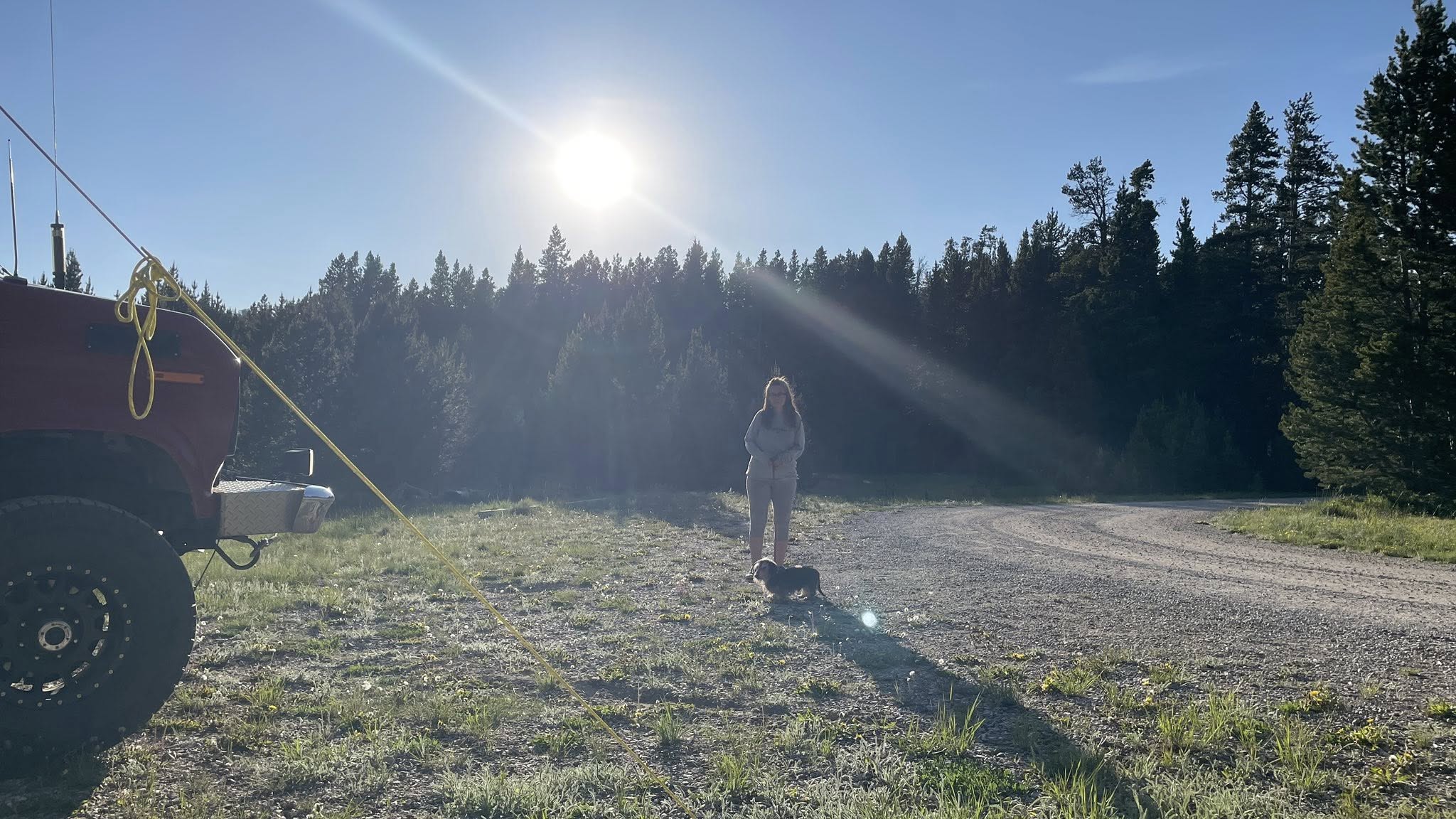
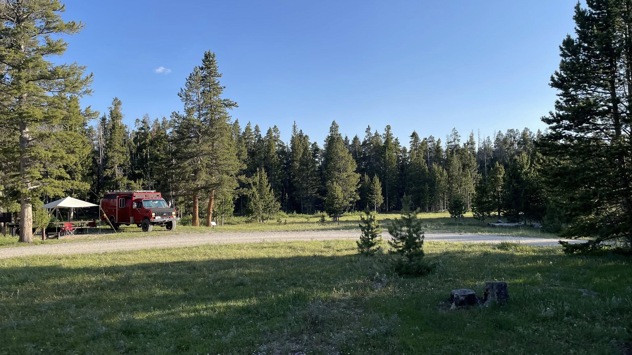
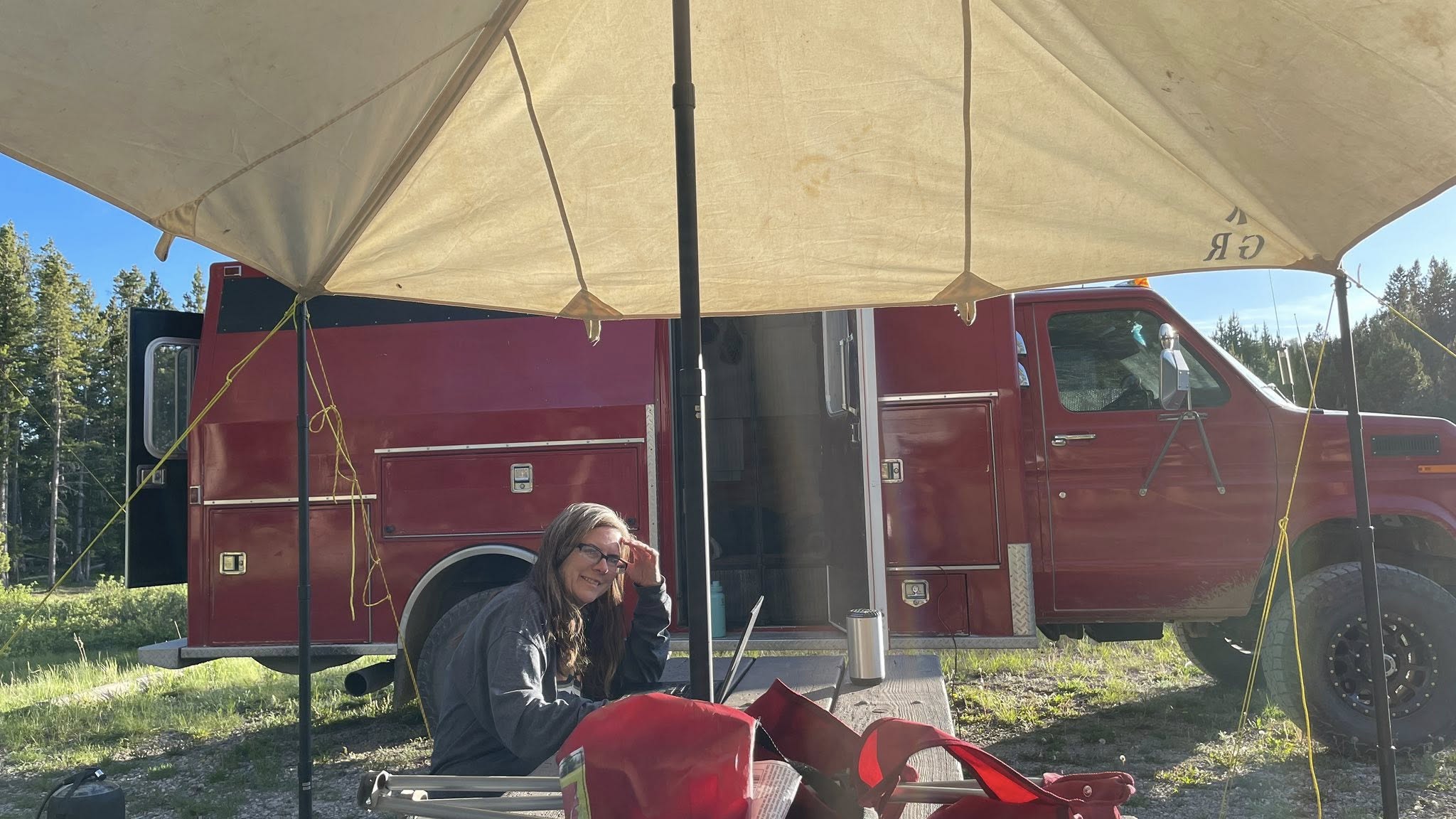
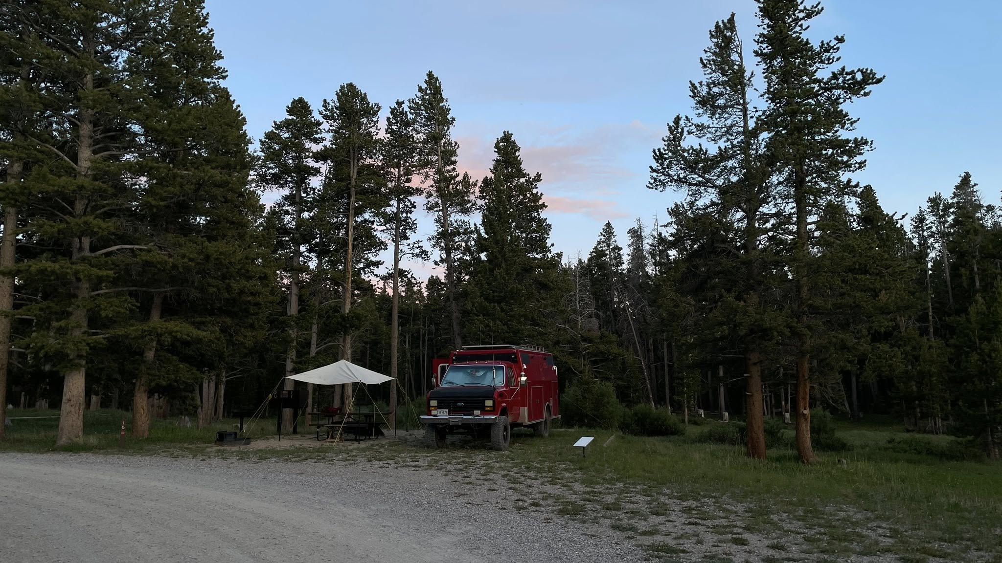
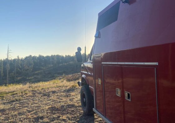
Today was also Field Day for ham radio, a worldwide event that tests equipment reliability and operator skills by encouraging as many radio contacts as possible. I got my HF station set up and made several contacts—some using FT8 digital mode and about five by voice. But once the bands got crowded, it felt like a good time to trade the headset for hiking boots.
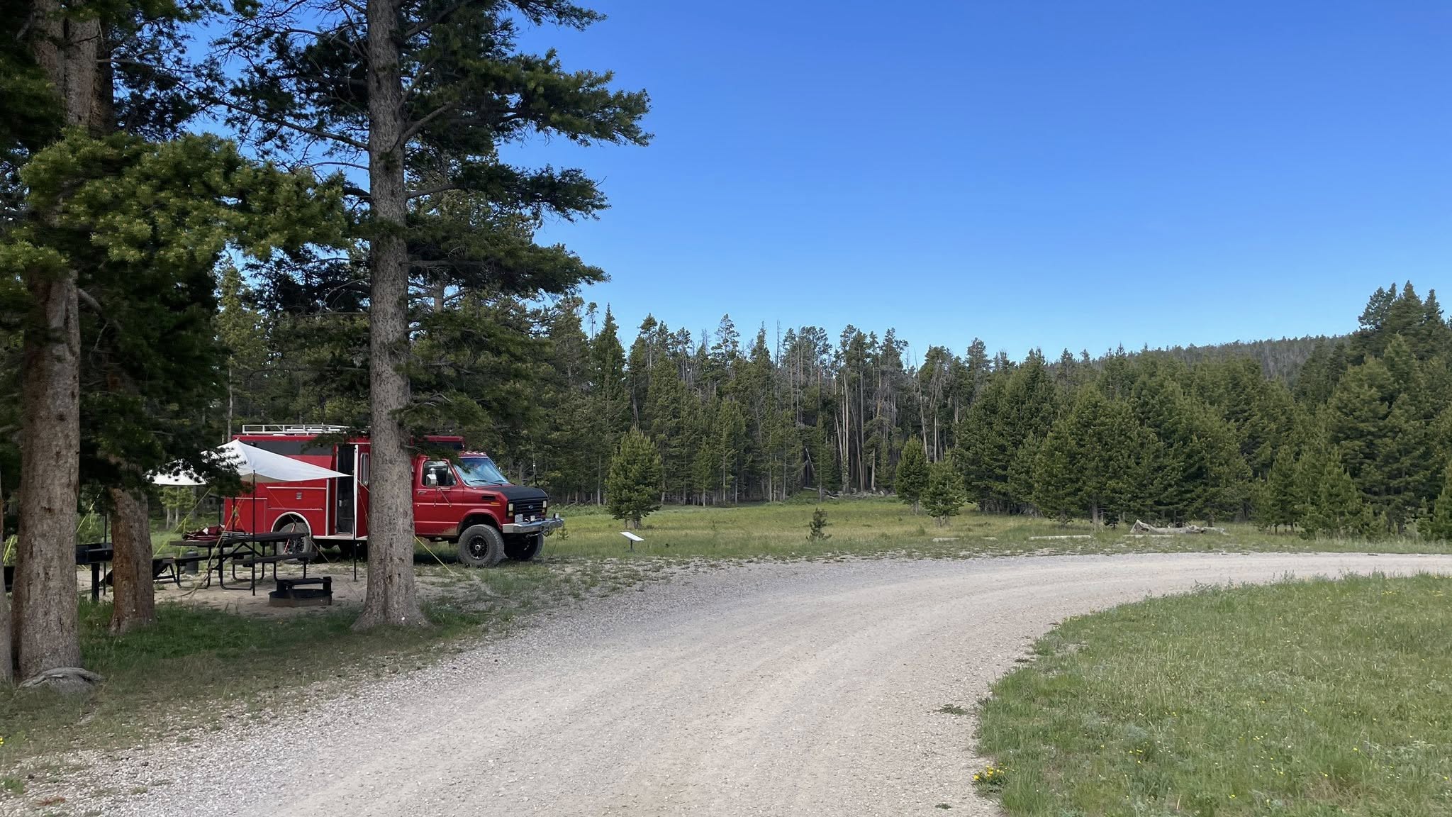
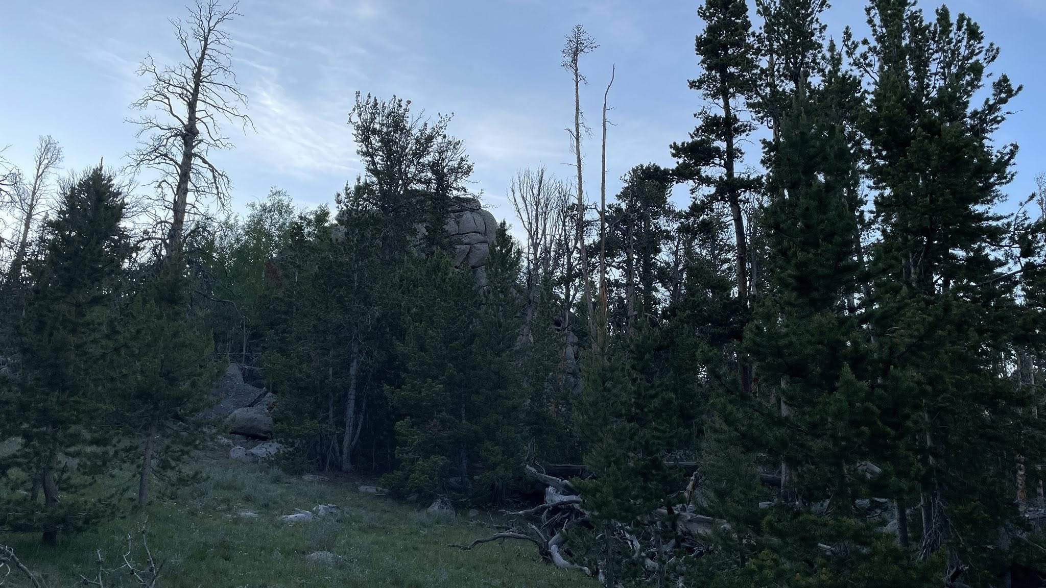
This afternoon’s hike was a bit more exploratory than the one we did last night. We wanted to see what lay at the bottom of the hill we had climbed. We followed a faint deer trail all the way down, which opened up into a quiet, expansive meadow. Another deer trail led us back toward camp, and we ended up behind the camp host’s site. It was a short one—just .80 miles round trip—but had about 310 feet of elevation change.
After a quick break, I returned to the radio for another session, working Single Side Band on the 20-meter band. I chased a few more stations until I hit my fill, but I did manage to make a contact that really surprised me: N1TN in Maine—nearly 2,000 miles away “as the bluebird flies.” Definitely a satisfying way to wrap up the event.
Dinner tonight was simple and solid—steak with butter for me, and a hamburger taco for Gayla. We wrapped up radio work around 7:50 PM and took the dogs for a short walk through camp. But the evening still had more in store.
At 8:00 PM, we set off on one last hike, circling around the lake. Along the way, we saw a beaver and a mule deer, both unbothered by our presence. We stumbled onto a well-worn trail that led to a nearby parking area, which turned out to be the trailhead for both Silas Lake Trail and Christina Lake Trail. On the way back, we wandered along a slightly different route but still managed to find our way back to Clifford.
That last hike clocked in at 2 miles round trip, and as the sun dipped below the peaks, the sky filled with cotton candy clouds. We let the dogs out one final time and stood together, taking in the sky’s pastel palette.
Miles Driven Today: 0
Morning Hike: 0.80 miles | 310 ft elevation gain
Evening Hike: 2.0 miles round trip
Radio Highlight: Contact with N1TN in Maine (~2,000 miles)
Sunset View: Atlantic Peak, 12,495 ft
![]() GPS Coordinates: 39.3711° N, 106.1047° W
GPS Coordinates: 39.3711° N, 106.1047° W